Announcing our latest integration: Mapwize indoor mapping


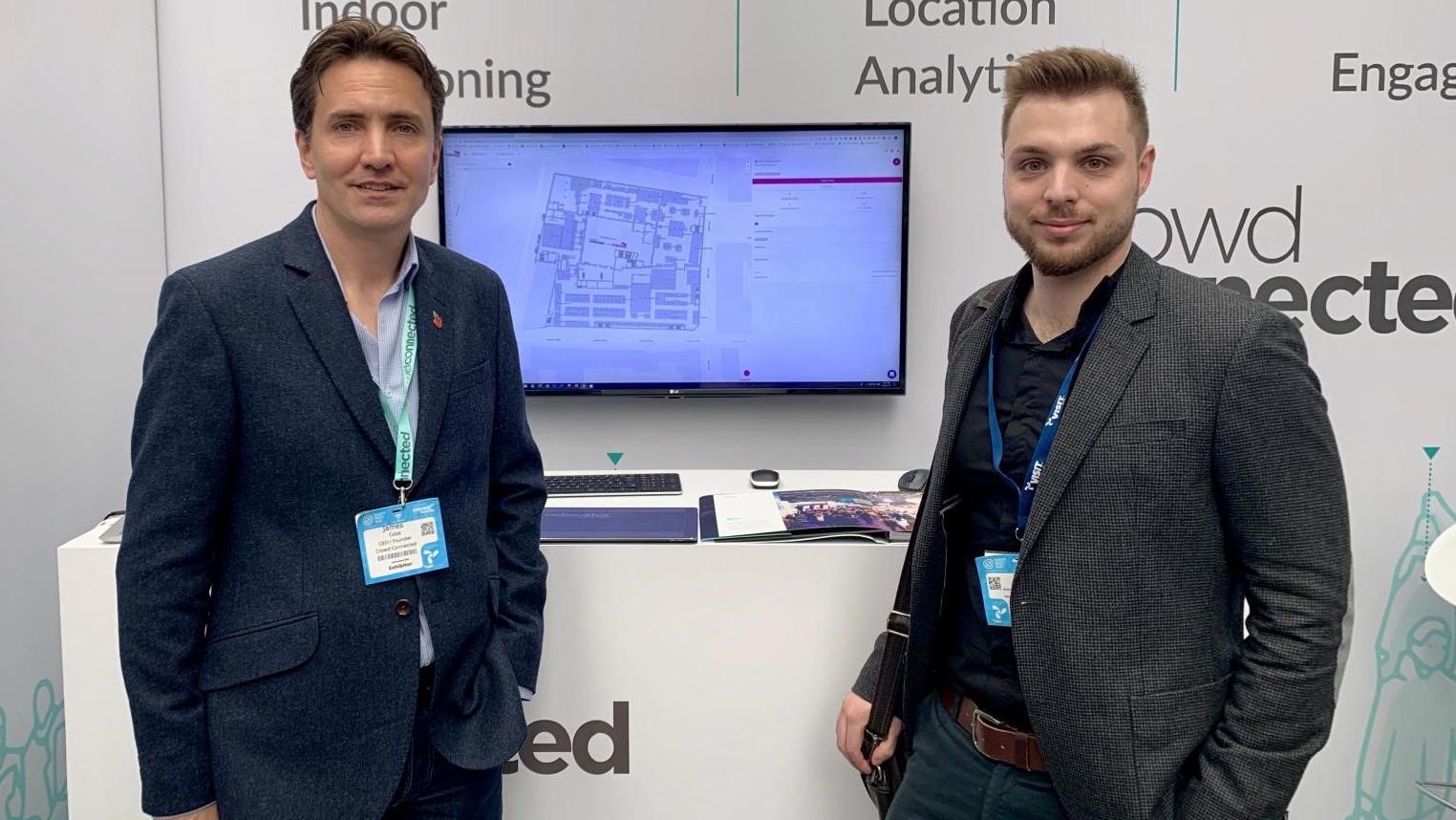
13 November 2019 - Last week at London’s Event Tech Live, Europe’s only show dedicated to event technology, we unveiled an exciting new partnership with Mapwize, a leading indoor mapping provider.
The integration of our indoor positioning system with Mapwize’s interactive floorplan provides events and venues with a best-in-class navigation experience for attendees, delivered through their official mobile app.
Using a combination of Bluetooth and inertial data from a phone, our indoor positioning software reliably and accurately positions an app user and updates that individual’s position in real time on the phone, snapped to a Mapwize indoor map embedded within the app.
Critically, our indoor positioning does not require fingerprinting or other time-consuming calibration that is often a feature of other solutions.
Industry feedback suggests that a laborious ‘set-up’ is seen as impractical for temporary live event environments, particularly exhibitions. This is because the build phase for the event is frequently finished only shortly before the public are admitted, so there isn’t enough time to satisfactorily complete the necessary calibration. This additional overhead also has the unwelcome effect of pushing up the cost.
The in-app navigation user experience we delivered during the Event Tech Live demos was described by one leading event app developer as “awesome” and by another representative from a global exhibition company as being “as good as anything I’ve seen, without any painful set-up”.
Here’s some video footage from Event Tech Live, capturing a real walk around the venue synced with screen capture from the app:
And here’s a graphic which shows two circular walks of Event Tech Live plotted against the venue floorplan:
We’ve reproduced this to illustrate the accuracy of our technology in a real-world environment. We think this kind of visualisation gives a much better indication of how good the positioning is, and what it can be used for, compared to, say, a single figure of ‘x’ metres accurate.
As far as we are aware, no other provider of indoor navigation has made public this sort of analysis from a real-world, live deployment (in this case, a busy exhibition, a notoriously difficult environment in which to deliver accurate positioning given the temporary infrastructure and flow of people).
It’s also worth noting that these walks were undertaken with an iPhone 7, a model which is over 3 years old. So, by no means the latest flashy handset.
The Crowd Connected-Mapwize solution is now available to any app developer who wants to provide in-app navigation, via a straightforward code integration. Alternatively, if you favour an alternative mapping provider, our indoor positioning data can be used to overlay device location on any map. We’ve already successfully tested deployments with Google and Apple maps.
Our mission is to enable event organisers to capture, understand and influence the entire attendee journey around the event environment. That means footfall analytics, location-based mobile engagement and now indoor navigation.


